
Swiss Alps hiking: what to know first
Swiss Alps hiking covers everything from a path through a valley meadow to a route over firn and glacier. The signs along the path tell you which kind of walk you are on, and a cable car at the start does not make the route easy. Read the marking, check your fitness and your equipment against it, and look at the conditions on the day. Short guided hikes from Interlaken are a simple way to start, and you will find them below. All prices are in Swiss francs (CHF).
For a wider look at the region, our Bernese Oberland guide describes the places that serve as bases.
Our picks: guided hikes from Interlaken
The Bachalpsee hike is a full guided day with all lift tickets covered. The snowshoe tour is a winter option with equipment and transport from Interlaken.
Hand-picked tours, booked through GetYourGuide. Prices are indicative starting prices in Swiss francs (as of October 2026). Tap a tour for live availability and the current price in your currency.
Guided First and Bachalpsee hike from Interlaken
- All tickets for train, gondola
- Swiss tour guide
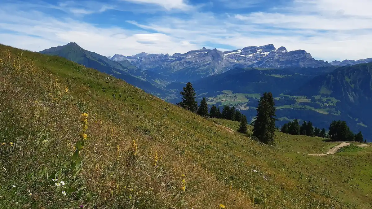
A guided hike on the Grindelwald First and Bachalpsee route, starting in Interlaken.
Check availability →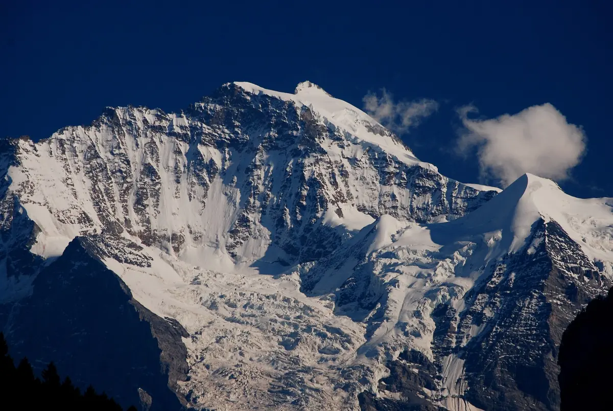
Wetterhorn trail snowshoe tour from Interlaken
- Snowshoes and poles
- Hiking boots
- Transportation from Interlaken
A guided winter snowshoe tour, not a skiing product, with a snack and a drink.
Check availability →Guided hikes in the Swiss Alps
Guided hikes and snowshoe tours from Interlaken, with live prices and availability.
Trail markings and grades
Three colours, three levels of demand.
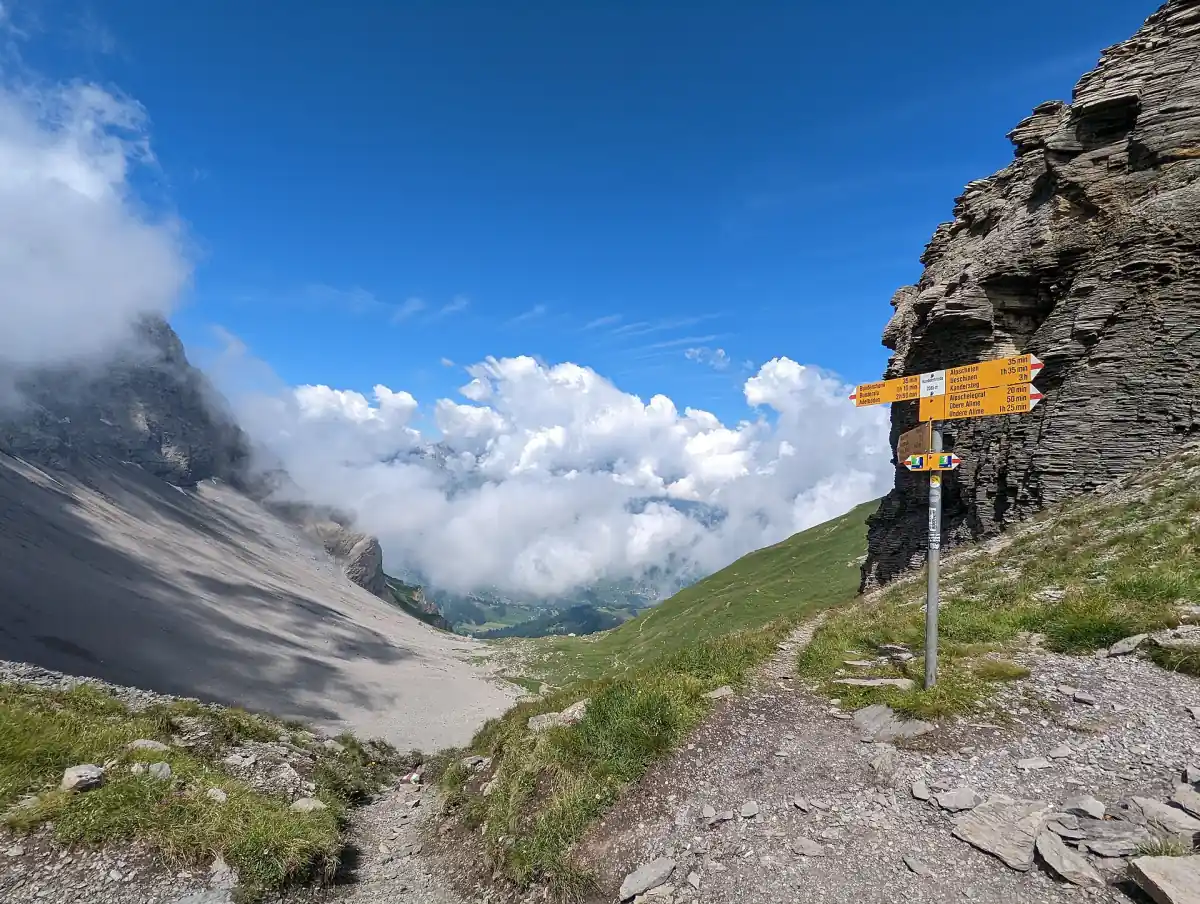
Swiss paths are marked in three ways. A yellow sign marks a hiking trail. White-red-white marks a mountain trail, which needs sure footing and a head for heights. White-blue-white marks an alpine trail, which asks for alpine experience and the right equipment on top. Alpine routes can cross firn, glacier and pathless ground, and rope, ice axe and experience may be needed. A railway station nearby does not mean that the glacier is safe to walk on.
| Marking | Type of path | What it asks of you |
|---|---|---|
| Yellow | Hiking trail | A plan for the weather and for the route |
| White-red-white | Mountain trail | Sure footing and a head for heights |
| White-blue-white | Alpine trail | Alpine experience and suitable equipment |
When to hike
Seasons depend on the altitude of the route.
The hiking season in the Swiss Alps depends on the route. As an example, one Via Alpina stage is given with June to September, and that must not be applied to every high route or to a fixed date when the snow has gone. Valley paths and high paths follow different calendars, so look at the altitude of your route first. Our page on the best time to visit sorts the year by altitude and by plan.
In winter, check the avalanche bulletin of the SLF and the White Risk map on the day of your tour. A fact sheet does not replace the bulletin on the day. If you plan to stay below the snow line, winter walking and snowshoe tours are an alternative, and our skiing page covers the lift and snow side of the season.
Hiking around Interlaken
Lakes below, mountains above.
Interlaken hiking begins close to the town. The Harder Kulm stands at 1,322 m, and the railway ride from Interlaken takes about 10 minutes. The season runs from 3 April to 29 November 2026. Do not treat the Harder Kulm as an easy walk up on foot: a ride and a hike are two different plans, and we give no route lengths. Our Interlaken guide covers the town, the lakes and the viewpoint.
The guided hike to First and the Bachalpsee starts at Untere Bönigstrasse 7c in Interlaken. It includes all train and gondola tickets and a Swiss guide. Food and drinks are not included, but you can buy a picnic on the way.
Guided hikes and snowshoe tours
Walking with a guide, in summer or winter.
A guide takes care of the route and the tickets, which is helpful if you do not know the area. Guided hiking tours in Switzerland differ in what they cover, so read the inclusions of each one. For coach tours and other guided days, see our tours page.
The Wetterhorn Trail snowshoe tour is a winter tour from Interlaken. It includes snowshoes and poles, hiking boots, a snack, a drink, transport from Interlaken and a professional guide. Warm winter clothing is not included but can be rented, and lunch and tips are extra. Two meeting points exist depending on the option, so check the place in your booking details.
Grindelwald, Lauterbrunnen and Zermatt
Three mountain bases with their own hiking guides.
Three places have guides of their own: read about hikes around Grindelwald, hikes in the Lauterbrunnen valley and hikes around Zermatt. Mountain huts of the Swiss Alpine Club (SAC) sit along many routes, but check the details of a hut with its operator.
Altitude and safety
A quick ascent by cable car or train does not replace acclimatisation. Headache, dizziness and nausea can be signs of altitude trouble. Climb slowly, raise your sleeping altitude in moderate steps and go down if you feel unwell. This is general advice from the Swiss Alpine Club and no medical clearance. Glacier routes and high tours belong with a guide and the right equipment.
Frequently asked questions
What do the colours of the trail signs mean?
Yellow marks a hiking trail, white-red-white a mountain trail that needs sure footing and a head for heights, and white-blue-white an alpine trail that also asks for alpine experience and equipment.
When is the hiking season in the Swiss Alps?
It depends on the altitude. One Via Alpina stage is given with June to September, which is an example and not a rule for every route.
Can I hike to a glacier on my own?
Alpine routes can cross firn, glacier and pathless ground, and rope, ice axe and experience may be needed. A railway station nearby does not make the glacier safe to walk on.
Where do I find the avalanche situation in winter?
The SLF avalanche bulletin and the White Risk map show the current situation. Check them on the day of your tour.